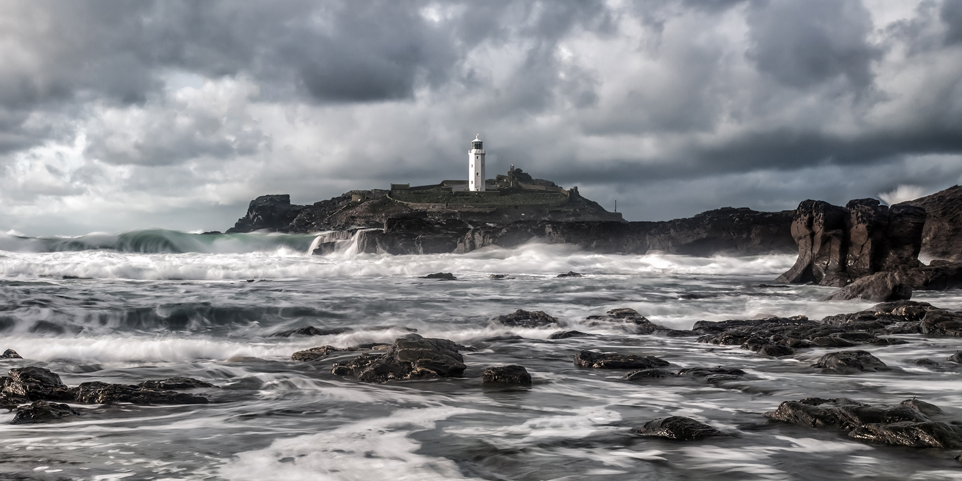
Storm Ciaran

I'm no Jim, but just going from the Met Office - it doesn't seem to get too nasty until after the game. Maybe there would be a concern for those traveling through the night afterwards? But for the game itself it seems ok.

Good job the Liverpool fans will only live round the corner ;)
Not expecting any wind impacts until the early hours of Thurs morning.
 
Between 20:00 and 23:00 winds in Bournemouth from 48mph to 61mph along with heavy rain .. trees still full of leaves and ground saturated. I live in the sticks , not looking forward to this storm !!
 
Between 20:00 and 23:00 winds in Bournemouth from 48mph to 61mph along with heavy rain .. trees still full of leaves and ground saturated. I live in the sticks , not looking forward to this storm !!
Be careful, those sticks might just get blown away.
 
I think those in the Channel Islands might disagree come this time tomorrow.

Current modelling indicates the strongest storm there since the infamous Oct 1987 storm. And as previously mentioned, would only take a 50 mile northward correction on the track of the low to bring those winds to the South Coast.
Does the amber to yellow downgrade suggest greater confidence in the track Jim? Met Office deep dive on this is very good and obviously confidence increases the closer it gets.

Still a belter here obviously but some hope that we might miss the worst of it?
 
I think those in the Channel Islands might disagree come this time tomorrow.

Current modelling indicates the strongest storm there since the infamous Oct 1987 storm. And as previously mentioned, would only take a 50 mile northward correction on the track of the low to bring those winds to the South Coast.

I prefer using the Michael Fish approach ;)

I wonder if the netweather forums are getting in a right tiz, might nip over.
 
Does the amber to yellow downgrade suggest greater confidence in the track Jim? Met Office deep dive on this is very good and obviously confidence increases the closer it gets.

Still a belter here obviously but some hope that we might miss the worst of it?
Given the uncertainty (two different models have the low centred Southampton and Cardiff respectively, the latter bringing strong winds much closer to the south coast) I am surprised at the downgrade to yellow for these parts.

The low is only just now undergoing explosive cyclogenesis (a term used to describe rapid deepening of a low, more than 20hPa in 24 hours) and it may be late evening before the likely final track is nailed down(ish).
 
I wonder if the netweather forums are getting in a right tiz, might nip over.
The Storm Ciaran thread over there is quite restrained, tbf.

It's when there is snow in the offing that some get a bit over excited....

On another note... very rare you see Hurricane Force 12 in the Shipping forecast... Plymouth and Biscay both have 12 in the forecast, rest of the Channel is Violent Storm Force 11 which is in itself quite uncommon.

One occasionally sees Force 12 in the shipping forecast for more north-western sea areas such as Faeroes and South-east Iceland, but not down here!

 
I think it's time the Met updated its terminology. Light showers in north Dorset would be more accurately called heavy downpours. Anyone out in a shower proof mac during the three "light showers" I was caught in this morning would've been soaked to the skin.
 
For the benefit of a foreigner, I take it "yellow" is below "amber"? (I feel like those are the same color, btw.) What's above amber?
 

;